
New London neighbors begin with a source
A New London neighbors search is strongest when each source is kept in its lane. MapGeo supplies a selected parcel, abutters, and map themes. Vision supplies owner, situs, PID or MBLU, sale, and building fields. SECOG and OPM help when a block crosses a municipal line. The voter street list gives number ranges and district splits without naming the people at those ranges. Directories and civic organizations add past or community context, not a complete household roster.
| Source | What It Shows About a Block | Access |
|---|---|---|
| MapGeo parcel viewer | Selected lot, adjacent parcel shapes, abutters, themes, and a printable map | Public dynamic viewer |
| Vision property roll | Owner, situs, PID or MBLU, values, sale rows, and building facts | Public address or owner search |
| SECOG and OPM | Regional parcels, standardized fields, and cross-city geography | Public regional viewer and data pages |
| Voter street list | Number ranges, odd/even rules, districts, and polling geography | Static city list, no names |
| Directories and archives | Earlier street occupants, businesses, obituaries, and address clues | Library, society, archive, or request |
| Civic sources | Neighborhood programs, park context, planning history, and public contacts | Program or organization access |
The table is a block research plan, not a promise that every row will identify a neighbor. Start with the parcel, confirm each adjacent lot, then ask whether the next source adds an owner, a district, a past occupant, or a civic connection. That order prevents a map label or association reference from being mistaken for a current person record.
Map New London neighbors with MapGeo
The public New London MapGeo viewer is the direct address-to-abutters bridge. Its visible controls include Zoom To, Share, Print, Property Quick Search, Search, Selection, Themes, Markup, and Abutters. Select the target parcel before reading the surrounding shapes. The viewer warns that its data may be out of date or inaccurate, comes from third-party sources, and is not a legal survey. Dynamic layer names and exact advanced fields were not exposed in the text inspection.
- Use Property Quick Search or Zoom To to place the target address on the New London map.
- Select the target parcel and note the map date, scale, parcel outline, and any visible theme.
- Open Selection or Abutters to identify the lots that touch or sit beside the target.
- Use Print or Share to preserve a dated map, then open each adjacent parcel in Vision for its record fields.
- For a full named-street chain beyond the immediate block, use the New London Street Directory and its address workflow.
The New London MapGeo viewer shows the parcel, selection, abutters, and map-tool context used before a neighbor record is checked.
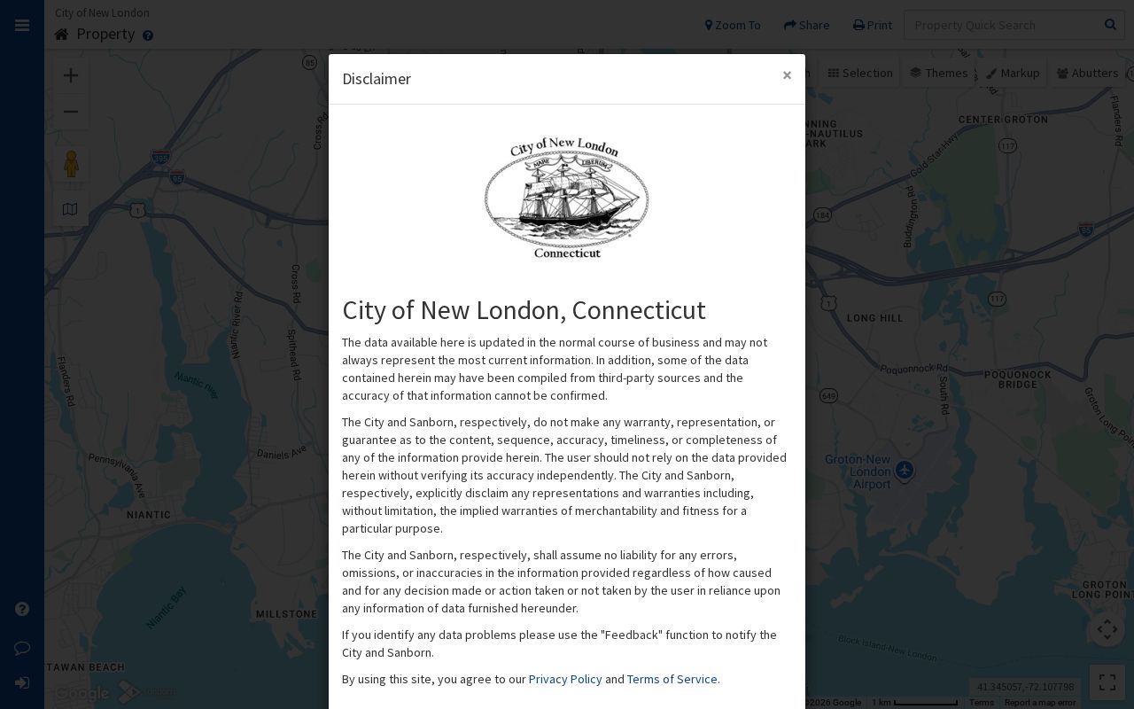
A MapGeo shape shows geography. Ownership and person-related details need a separate custodian, and the printed map should retain its access date.
Read New London parcels around neighbors
Open each abutting lot in the Vision Government Solutions New London search. The search source accepts Address, Owner, Acct#, MBLU, PID, and All. MBLU can be split into Map, Map Cut, Block, Block Cut, Lot, Unit, and Unit Cut. For a block check, preserve the situs address, owner or co-owner, PID, MBLU, value year, visible sale rows, and building fields for each lot.
The PID 987 sample shows how much context one parcel card can hold: a situs address, owner, MBLU, PID, assessment and market fields, sale history with book and page, building year and style, rooms, bedrooms, baths, utilities, photograph, and sketch links. It also shows why caution matters. A separate mailing address was not visible, the values are assessment data rather than a current market opinion, and sale history points to a recording book instead of replacing the deed image. An owner is not automatically an occupant.
Note: Compare adjacent parcels by PID, MBLU, situs, and date; do not merge two names because they appear on the same map screen.
New London neighbors cross city lines
New London blocks can meet Waterford, Groton, or another nearby municipality. The SECOG regional GIS viewer covers 22 southeastern Connecticut municipalities and provides a wider parcel context after its public-use notice. Connecticut OPM’s Parcel and CAMA data page explains standardized fields such as Parcel ID, town name, edit date and method, source information, location, parcel type, CAMA ID, object ID, area, and length.
Regional data is useful for crossing the city line, but its accuracy and completeness can vary by municipality and regional council. A label such as 06375 or Quaker Hill is another warning: postal, ZCTA, municipal, and tax geography can differ. Treat parcel boundaries as map context until the relevant municipal office or legal record confirms them. Keep the postal city, tax town, parcel ID, voting district, and legal description separate when a neighbor address falls near the edge.
New London neighbors and voter ranges
The August 3, 2022 New London street list offers block-level geography without publishing named voters. Lincoln Avenue places numbers 1 to 56 in District 001 and 58 to 198 in District 002. Methodist Street divides even and odd numbers between those districts. Huntington Street uses several ranges and parity rules. Jefferson Avenue places 7 to 276 in one district and 278 to 758 in another. Those examples show why “the street” is not one voter unit.
The Connecticut SOTS lookup is a person match using town, first name, last name, and date of birth. Public results can show registration status, party, polling place, and limited birth-year information, while full date of birth, ID data, and protected addresses are restricted. New London registrars can answer district questions at 860-447-5206, but the street list remains a range map, not a list of neighbors.
Note: A district range can locate a polling area, but it cannot prove which person lives at a nearby address or how many people share it.
New London civic groups beside parcels
Neighborhood context can help explain why a block is known by a local name, but it should not be treated as a membership directory. New London’s Neighborhood Academy is an eight-week civic-engagement program. The 2026 sessions run March 19 through May 14, with coordinator Yamilla Mateo at 860-437-6394 and ymateo@newlondonct.gov. The New London Neighborhood Alliance appears in city material as an umbrella reference for neighborhood coalitions, including Freedom Train Neighborhood Association. A complete current association roster was not located.
| Local source | Useful block context | Limit |
|---|---|---|
| Neighborhood Academy | Participation, civic learning, and a current city contact | Program access, not a household roster |
| New London Neighborhood Alliance | Umbrella history and the Freedom Train reference | No complete public member list located |
| Riverside Park Conservancy | Northeast New London park context and Neighbor Day | Community setting, not parcel ownership |
| Starr Street and planning sources | Starr Street, downtown, Bank Street, waterfront, and rail context | Planning history, not person evidence |
The New London Neighborhood Academy page supplies a current civic contact and session dates for people who want to learn about neighborhood participation.
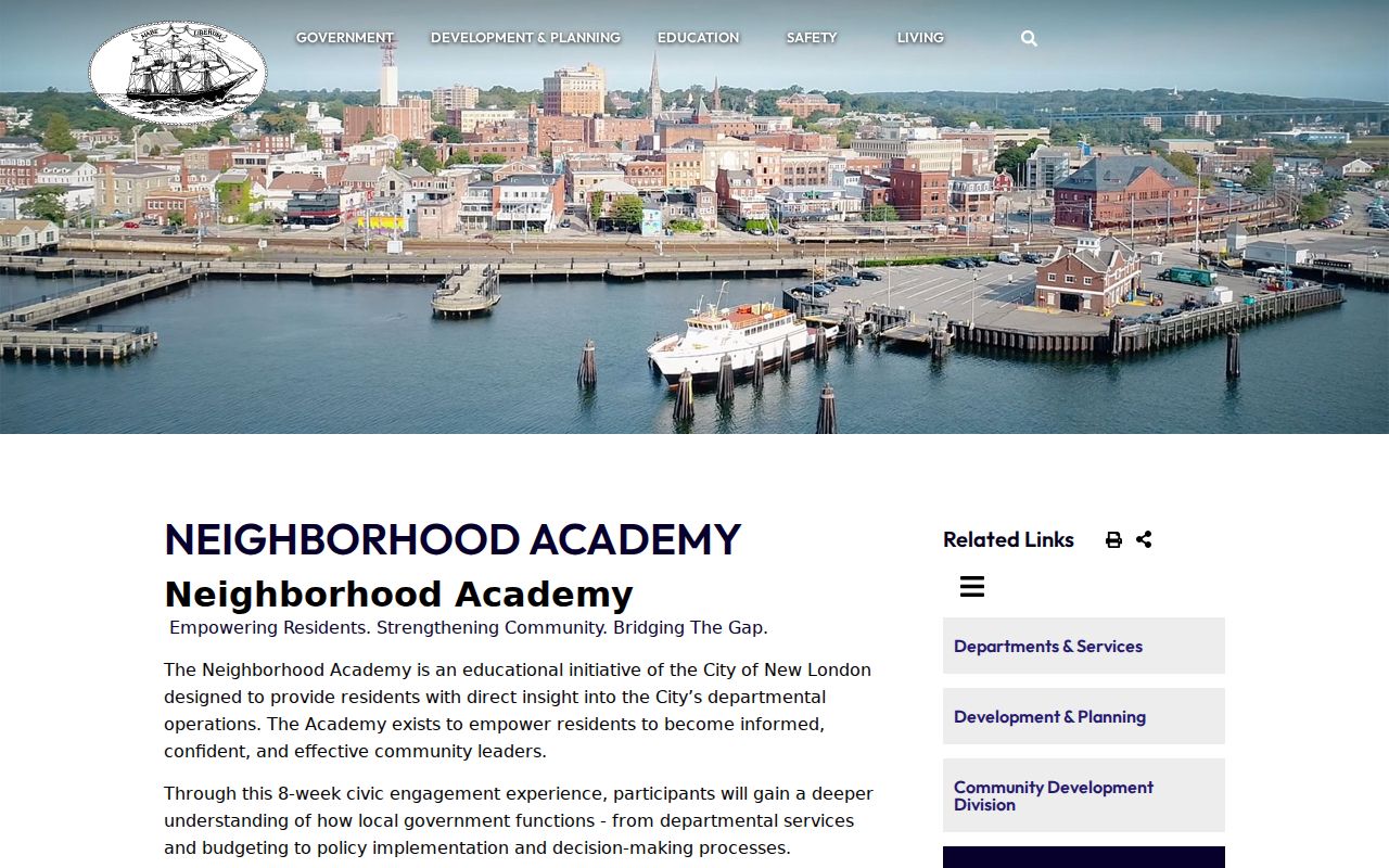
The program belongs beside parcel research as a civic route. It does not identify every person at an address.
The Riverside Park Conservancy describes an 18-acre park in Northeast New London and Neighbor Day programming.
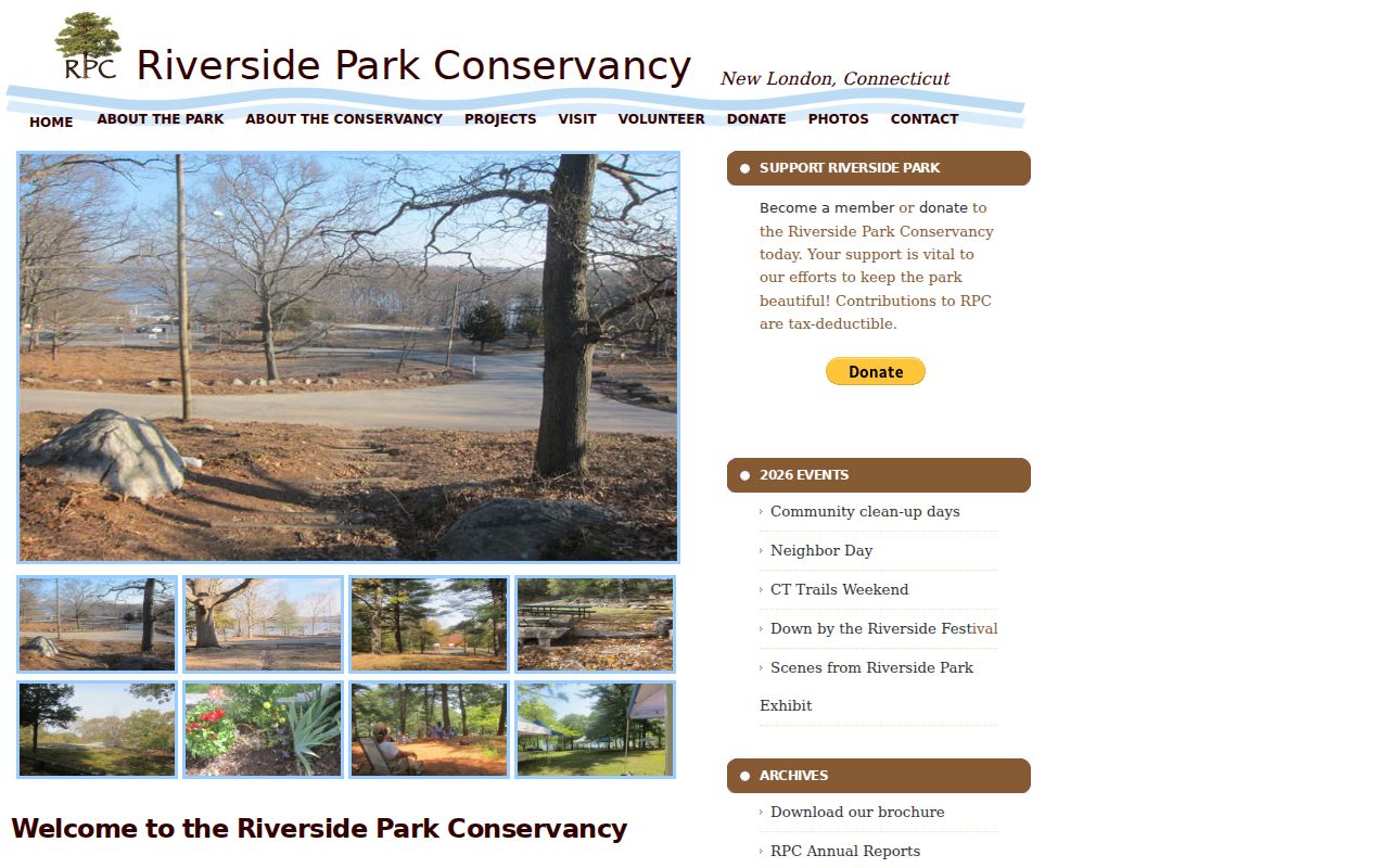
Park and Neighbor Day references add a human use to block research without turning a civic setting into a roster.
New London past neighbors in directories
When the question reaches back, PLNL, the New London County Historical Society, and New London Landmarks are separate access points. PLNL holds city directories and The Day microfilm from July 1881 to the present. NLCHS adds directories, newspaper indexes, maps listing property owners, photographs, school annuals, property and probate papers, and family materials. Landmarks organizes files by street address and can hold building histories, photographs, maps, plans, and clippings.
Read the same street in adjacent directory years, then compare the block with Sanborn maps from 1884, 1891, 1896, 1901, 1907, 1912, and 1921. A directory occupant, an owner, and a map footprint are three different clues. Ask a librarian or archivist for a focused street, year, or address-to-name search, especially when a number or street spelling has changed.
The Public Library of New London local-history route and the New London County Historical Society collections provide the library and archive fallback when a current block record does not explain an older address.
Use the online map first, then call or visit City Hall, GIS staff, the assessor, registrars, PLNL, NLCHS, or Landmarks when a field or older address is missing. Neighborhood Academy accepts phone and email questions. City permit and planning records use office or portal requests, and FOI can seek eligible municipal maps or administrative files. Preserve a dated map, source name, and parcel identifier with any mail, email, or appointment request.
Compare New London neighbor sources
People often compare official records with privately compiled name and address services. The categories are not interchangeable. An official roll is tied to a custodian, field definition, and access rule. A compiled service may join public and purchased data, merge same-name people, lag behind an update, or charge for a result. Community sources can be valuable for participation and history while still having no duty to publish a member list.
| Source category | Strength | Boundary |
|---|---|---|
| MapGeo, Vision, SECOG, OPM | Parcel shape, owner or tax fields, and regional geography | Data may lag; owner is not proof of occupant |
| SOTS and the city street list | Registration status or district ranges | Protected addresses and named household lists are restricted |
| PLNL, NLCHS, Landmarks | Historical street, family, building, and newspaper context | Year gaps, appointments, and collection-specific access |
| Compiled name and address services | May gather several public or purchased clues in one view | Accuracy, update timing, provenance, and lawful-use limits vary |
For a block question, official sources should carry the factual load. Use compiled data only as a clue that must be checked against the custodian. Do not treat a name match as permission to contact a person or reveal an address.
Privacy limits on New London neighbors
Public block records leave out much of household life. Unlisted household members, occupants who are not in a parcel record, utility or delivery information, protected voter addresses, and sealed or confidential court and vital material are not made visible by a map search. Connecticut’s Address Confidentiality Program and Voter Registry Privacy Program can suppress an actual address from ordinary release. A limited result is not evidence that a person is absent from New London.
The Connecticut FOI Act, CGS §§1-200 through 1-259, supports access to eligible public records but preserves statutory exemptions. PA 22-15, effective July 1, 2023, gives covered businesses privacy rights but does not act as an erase button for government or publicly available data. If a parcel or district record is wrong, contact the custodian with the exact identifier. If a public name or address is used in a threatening call, stop contact and verify through a known agency number. Connecticut stalking and harassment statutes limit repeated or threatening contact.
Lawful use. New London neighbor lookups are for personal, lawful research, family history, civic participation, and safety awareness. Do not use public information to watch, stalk, harass, intimidate, or publish a protected address.