
Search the New London Street Directory
A useful New London address search begins with one exact location and moves through records in a fixed order. Start with the municipal property key, then use the map, voter geography, deed index, and historical shelf. The chain reveals what each source can support. It does not assume that a tax owner is the person who lives there.
- Run the complete street address in the Vision property search. Save the situs address, owner spelling, PID, MBLU, value year, and any sale-history rows.
- Open the same parcel in MapGeo. Use Property Quick Search, Selection, and Abutters to see the parcel shape and nearby lots.
- Compare the street and number with New London's voting-district street list. Odd and even ranges can place two sides of one street in different districts.
- Carry the book/page and instrument from the assessor card to the City Clerk's CountyFusion land-record route. Search the grantor, grantee, or legal description when the address changes.
- For an earlier household, ask the library or historical society for directory years, newspaper notices, and address files. Pair the result with a census, deed, obituary, or map.
Save the source URL and access date at each step. A stable PID or legal description is stronger than a street spelling alone.
New London Street Directory Vision Fields
The Vision Government Solutions search is the core current address tool. Its source dropdown offers Address, Owner, Acct#, Mblu, PID, and All. Address is the natural first choice for a by-address search. Owner works when a person is the starting clue. PID, account number, and MBLU help when a name has variants or a street number has changed. MBLU expands into separate map, block, lot, unit, and cut fields.
| Control | Type and options | Street use |
|---|---|---|
| Search source | Dropdown: Address, Owner, Acct#, Mblu, PID, All | Pick the field that matches the clue. |
| Search input | Text for address, owner, MBLU, account, or PID | Keep unit marks and spelling as returned. |
| Map / Map Cut | Text components; map max 7, cut max 3 | Break an MBLU into its first parcel parts. |
| Block / Block Cut | Optional text components | Test block and subdivision variations. |
| Lot / Unit / Unit Cut | Optional text components | Resolve a lot, condominium unit, or suffix. |
| Search / Street Listing / Sales Search / Map | Buttons and links | Search one parcel or browse the portal's available lists. |
Search results can show owner, co-owner, situs address, PID/MBLU, values, sale price, book/page, instrument, date, building characteristics, sketch, and photo links. The inspected PID 987 card does not show a distinct mailing address. Keep the blank field blank rather than filling it with the parcel address.
New London Street Directory Records
The address trail is most useful when the same key is carried across separate offices. The New London street directory method keeps the owner clue separate from the title clue, a district range from a named voter, and a map layer from a legal boundary.
| Record set | Keeper | What it shows | Route |
|---|---|---|---|
| Assessor parcel | New London Assessor / Vision | Situs, owner, PID/MBLU, values, sales, building facts | Public address or owner search |
| GIS parcel map | New London MapGeo | Shape, abutters, themes, nearby parcels | Quick Search and map tools |
| Deed and lien trail | New London City Clerk | Grantor, grantee, legal description, book/page | CountyFusion or vault appointment |
| Voting geography | New London Registrars | Number ranges, parity, district, polling site | August 3, 2022 street-list PDF |
| Permit and planning file | City departments / OpenGov | Application, approval, inspection, physical-change clue | Office or dynamic portal request |
| Directory and map shelf | PLNL, NLCHS, Landmarks | Historical occupant, address, building, newspaper clue | Year-specific request or appointment |
The City Clerk is the correct local recording office because Connecticut has no current county recorder. Its land-record page confirms a 3:45 p.m. recording cutoff and title searches by appointment. CountyFusion's New London index coverage, image behavior, and fees were not exposed after the portal returned HTTP 502. A precise book/page request to the clerk is safer than guessing at an online cutoff.
New London Street Directory MapGeo Layers
MapGeo turns a street search from a row of names into a parcel pattern. Use Property Quick Search to locate the target, then Selection or Abutters to identify adjoining lots. Print or save the map with its date and scale. Themes, markup, share, and print tools help preserve the geographic context that a plain address result loses.
MapGeo warns that its data may be inaccurate or out of date and is not a legal survey. Exact dynamic layer names and advanced fields were not visible in the text inspection. The assessor and City Clerk remain the sources for ownership and title. MapGeo is the place to see whether a rear lot, narrow parcel, or neighboring municipal line changes the street picture.
The public MapGeo viewer connects a New London address to parcel geometry. A map click can show the block context, but it is not itself a resident result.
New London Voting Ranges Split by Number
New London's voting street list is a useful street directory cross-check because it assigns ranges rather than naming individual voters. Lincoln Avenue places numbers 1-56 in District 001 and 58-198 in District 002. Methodist Street splits by parity, with even numbers in one district and odd numbers in another. Huntington Street and Jefferson Avenue also use separate ranges and odd/even rules.
The Registrars of Voters page lists three districts and polling sites. The public office is at 181 State Street, phone 860-447-5206, with public hours Monday, Wednesday, and Friday from 11:00 a.m. to 2:00 p.m. The state voter lookup can confirm a person's registration status, party, and polling place, but full birth details and protected addresses are restricted.
The static New London street-list PDF is dated August 3, 2022. Read it as a geography aid, not as a current named voter file.
New London Street Directory Deed Chains
The assessor's sale history is the bridge from a current street address to earlier title records. Copy every visible book/page, instrument, date, price, owner, trustee, and estate name. Then use the City Clerk's CountyFusion link, when available, to search by book/page, grantor, grantee, or legal description. A seller in one deed can become the prior grantee in the next step.
- Start with PID or MBLU, not just a street number.
- Carry the parcel card's book/page row into the land-record search.
- Read the legal description, lot, unit, trustee, and estate language in the deed.
- Search the prior owner as a grantee and compare the legal description when a street name or number changes.
- Pair each transfer with a directory, census, obituary, probate, permit, or map clue.
The New London index's first online year and image charges remain a documented research gap. City Hall vault access and title-search appointments are the fallback. The recording cutoff is 3:45 p.m., so call before travel or a copy request.
Before relying on an online deed result, call the New London City Clerk at 181 State Street. The office lists 860-447-5205 and public information at 860-447-5204, with Monday-Friday service from 8:30 a.m. to 4 p.m. Connecticut General Statutes §7-34a governs recording and copy fees, so ask for the current charge and payment method. This fallback matters when CountyFusion returns a server error or when a certified copy, rather than an index row, is needed. Keep the request limited to a parcel, book and page, names, and date range so staff can identify the available index, image, or certified-copy route.
The CountyFusion source page is the correct official link even when its live response is unavailable.
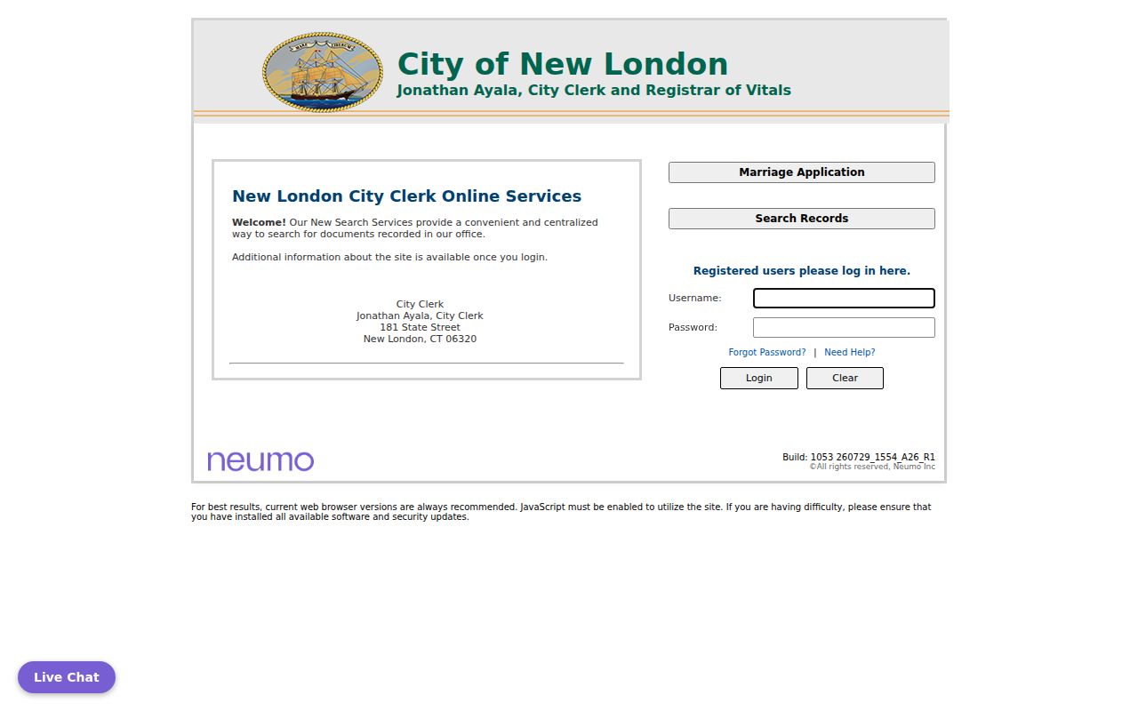
The source capture preserves the official starting point without inventing local index years or image rules.
New London Address History in Directories
New London city directories begin in 1853, and the Public Library identifies a complete The Day microfilm run from July 1881 to the present. A historical street search reads the same street across adjacent directory years, records initials, spouse or household marks, occupation, and address, then checks a newspaper or census. The Historical Society's marriage and death index for 1758-1866 and its property maps can add an earlier bridge.
A dedicated reverse or criss-cross series has not been confirmed. Ask the library and Historical Society for “reverse,” “criss-cross,” or address-to-name material by year. If no separate volume exists, read every street-page entry in the city directory. Boarders, roomers, “bds,” widows, and estate marks are clues, not proof that the named person owned or continuously occupied a house.
The Public Library local-history route favors focused questions and known newspaper dates. The full collection and reading method live on the New London directory book page.
New London Permits and Sanborn Dates
Building, planning, wetlands, and historic applications can date a physical change on a street. New London's Planning and Zoning submissions moved to OpenGov on March 25, 2024. The Building Official route describes permits, inspections, demolition, property maintenance, flood, blight, and abatement work, but the text inspection did not expose a complete public address search. Treat an application as a date and project clue, then request the file from the responsible office.
Sanborn maps add repeated snapshots. New London sheets are documented for 1884, 1891, 1896, 1901, 1907, 1912, and 1921, with a 1954 republication record. They show footprint, use, construction, and hazards. They do not name each resident. A map, directory, and deed together can explain why a number appears to skip or why a building history no longer matches a present parcel.
The Connecticut parcel and CAMA guidance gives the wider field and accuracy context used for New London GIS data.
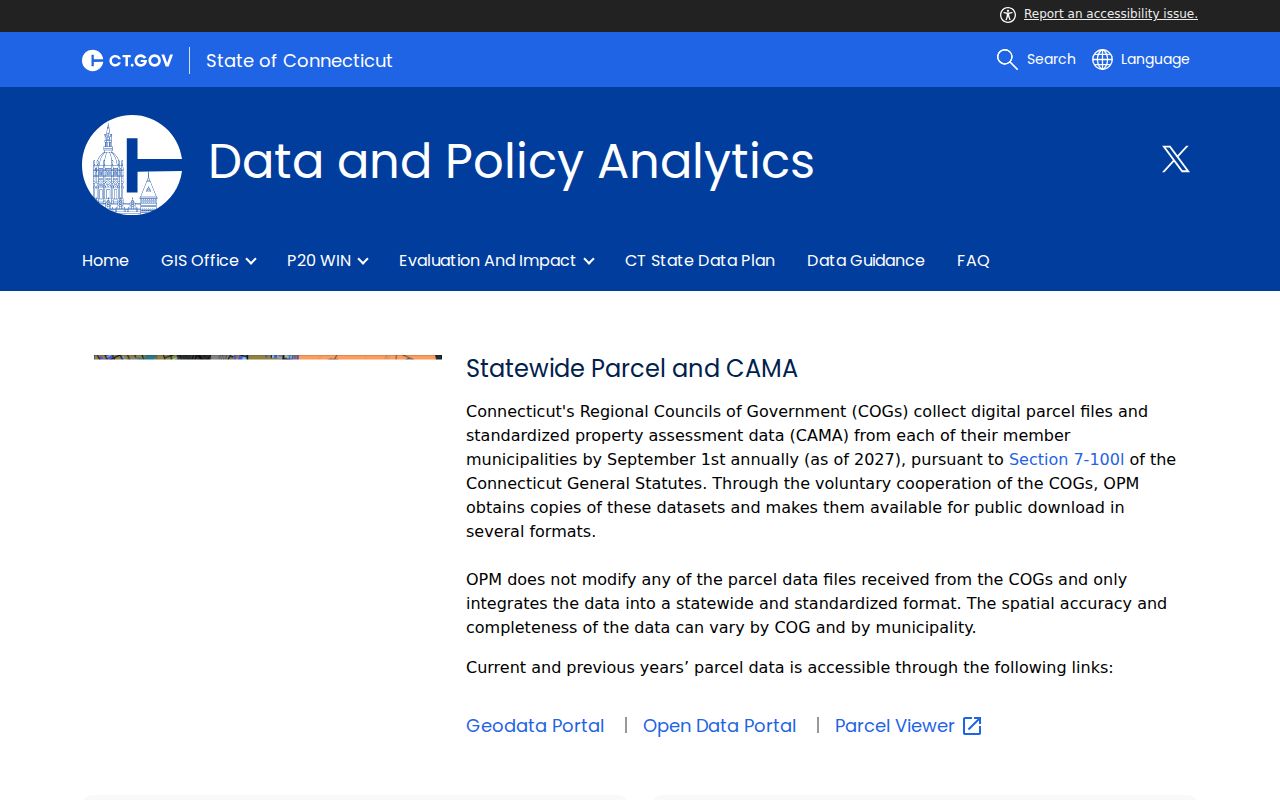
OPM's parcel guidance reinforces the need to treat regional GIS as a research aid, not a legal boundary or title opinion.
New London Boundary and ZIP Checks
New London city and town are coextensive, but a street search can still meet Waterford, Groton, or another nearby community. Use SECOG's 22-municipality viewer and OPM parcel data when a parcel crosses a city edge or a postal label looks wrong. Confirm the municipality, tax parcel, postal city, and voting district as separate facts.
06320 is the ordinary New London delivery ZIP. 06375 and the Quaker Hill label appear in regional or statistical contexts, but they do not prove that an address lies inside New London city. A ZIP, a Census ZCTA, a tax parcel polygon, and a legal description do not share the same boundary.
The SECOG regional GIS viewer supplies the wider map context.
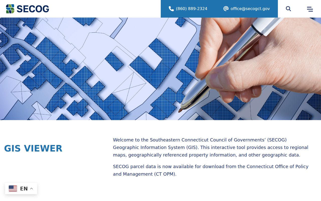
The regional source is most useful when the New London parcel view stops at a municipal line.
New London Street Directory Limits
A New London address guide cannot show every person at a location. The assessor may list an owner or estate but not an occupant. A voter lookup may omit a protected address. City directories may miss renters, boarders, children, or a year with no volume. Utility accounts, DMV data, and private contact details are not open substitutes.
Lawful personal use. Use address and street records for a specific, lawful purpose. Do not use a New London street directory to stalk, harass, intimidate, or harm anyone.
Connecticut's FOI Act, Conn. Gen. Stat. §§1-200 through 1-259, can support a focused request for an eligible public record, but it does not cancel vital, court, safety, voter, or law-enforcement exemptions. Ask the custodian for a date range and record identifier. If the goal shifts from a street to one person, the New London resident lookup workflow keeps the name-match problem separate from the address chain.